
Round Huts Settlements
(also called Roundhouses, Hut Circles & Hut Groups)
By 2500 BC, the early farmers were moving into upland areas where they settled and farmed the area. Archaeological evidence suggests that roundhouses were being occupied from the Middle Bronze Age through to the golden age of circular stone roundhouse settlements during the late Bronze Age. Stone buildings were occupied from the Iron Age through to the 5th Century AD.
Most roundhouses were gathered in clusters, some within an enclosure, while some were loosely scattered on hillsides.
Roundhouses were circular structures usually consisting of stone built walls, or wooden posts with wattle-and-daub panels, and a having conical thatched roof. Wattle consists of panels of woven timber plastered by daub, which is a mixture of clay and straw.
The thatched roofing was usually made of water reed and was quite thick. Although they had no chimneys, smoke from the hearth was able to seep through without causing fire. The thatch was supported by a frame of heptagonal-ringed beams of timber lengths with rafters.
Archaeological experiments have ruled out the use of chimneys in roundhouses.
These are just some of those settlements mainly from the late Bronze Age, Iron Age and into the Roman period when the people of the British Isles settled and became Romano-British civilians.
Images below are examples of how Iron Age roundhouses looked like


Due to so many ancient settlements scattered throughout the area, I have only included the surrounding areas listed below
I have included an O/S number on all historical sites to enable everyone to locate using an O/S map.
Please click on links below for each area
Anglesey

LLanfairfechan / Abergwyngregyn
Llanllechid area

Dyffryn Ogwen
")
Llanddeiniolen area

Llanrug / Llanberis

Caernarfon / Llanwnda area

Rhostryfan / Rhosgadfan

Dyffryn Nantlle - Iron Age hut circle enclosure")
Dolbenmaen

Dyffryn Ardudwy & Harlech 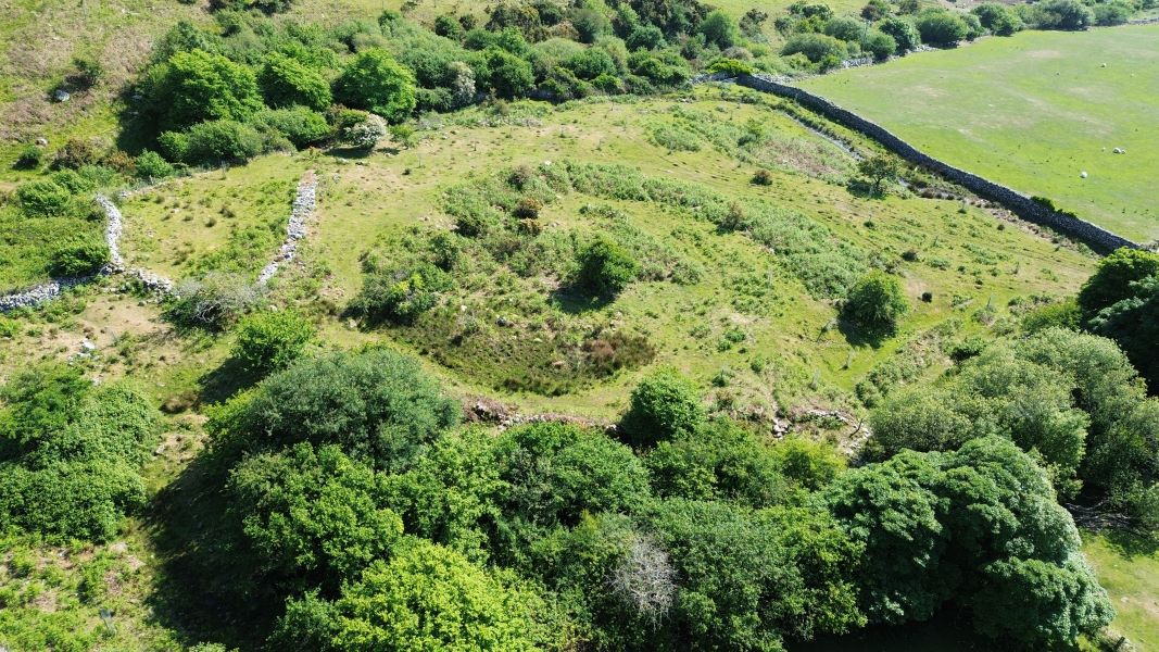
Other Areas
REMEMBER THE COUNTRYSIDE CODE 2022
Check for public footpaths
Assume that most areas may be on private land and permission to roam may be required.
Safety and care must be taken at all times, as some areas are difficult to get to due to hills and slopes that may lead away from paths.